
 Bicol Region · Philippines
Mapping the best sites for seaweed farming
This project aims to identify the most suitable sites for seaweed farming in the Bicol Region using a data-driven approach. The analysis considers factors such as substrate type, distance to estuaries, reef proximity, population density, and island features to generate a suitability score for each location.
What the platform does
Interactive suitability map
Explore 1,473 barangays across the Bicol Region, color-coded by seaweed cultivation suitability.
Data-driven scoring
Five weighted factors — substrate, estuary distance, reef proximity, population density, and coastal feature — combine into a single suitability score.
Ask the assistant
Query the data in plain language: “Show the top 5 barangays in Sorsogon” and get instant, mapped answers.
Drone imagery
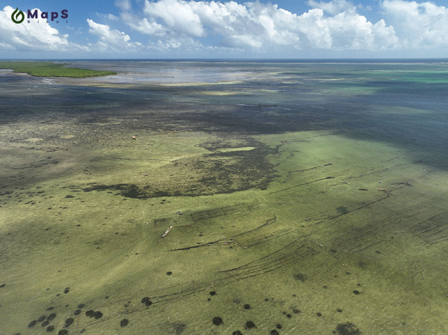
High-resolution aerial tiles overlay the map for close inspection of candidate farming sites.
About the project
GIS-BASED Site Suitability Mapping for Seaweed Cultivation in Bicol Region
This project aims to identify the most suitable sites for seaweed farming in the Bicol Region using a data-driven approach. The analysis considers factors such as substrate type, distance to estuaries, reef proximity, population density, and island features to generate a suitability score for each location.
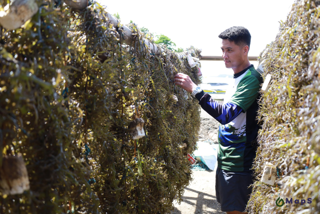
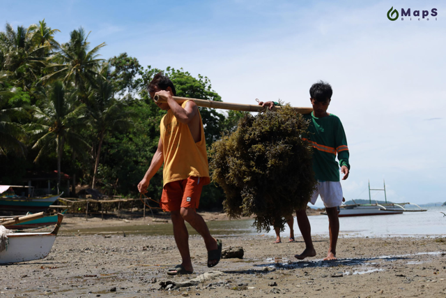
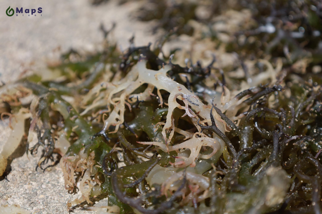
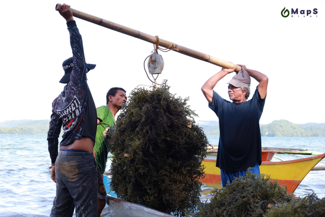
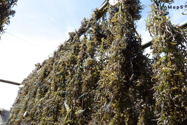
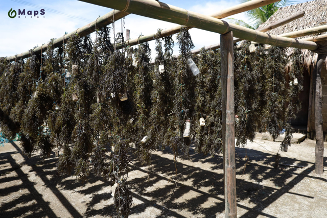
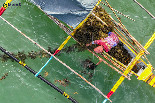
From the field
Project team











Partner agencies

Contact us
Get in touch
Questions about the project or the data? Send us a message.
- Office Address
- Herbarium Sorsogonense
2nd Floor Integrated Academic and Laboratory Building
Sorsogon State University
Sorsogon City, Sorsogon
Philippines 4700 - Project Leader
- Richard V. Dumilag, Ph. D.
Ready to explore suitable sites?
Open the interactive map and start filtering by province, municipality, or suitability level.
Open the map →